Gdinj, island of Hvar

Gdinj
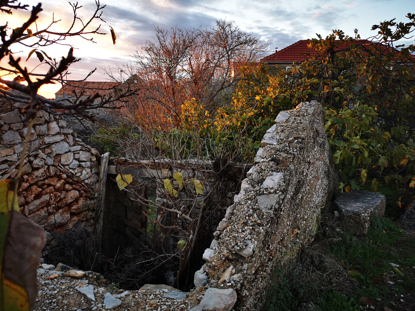
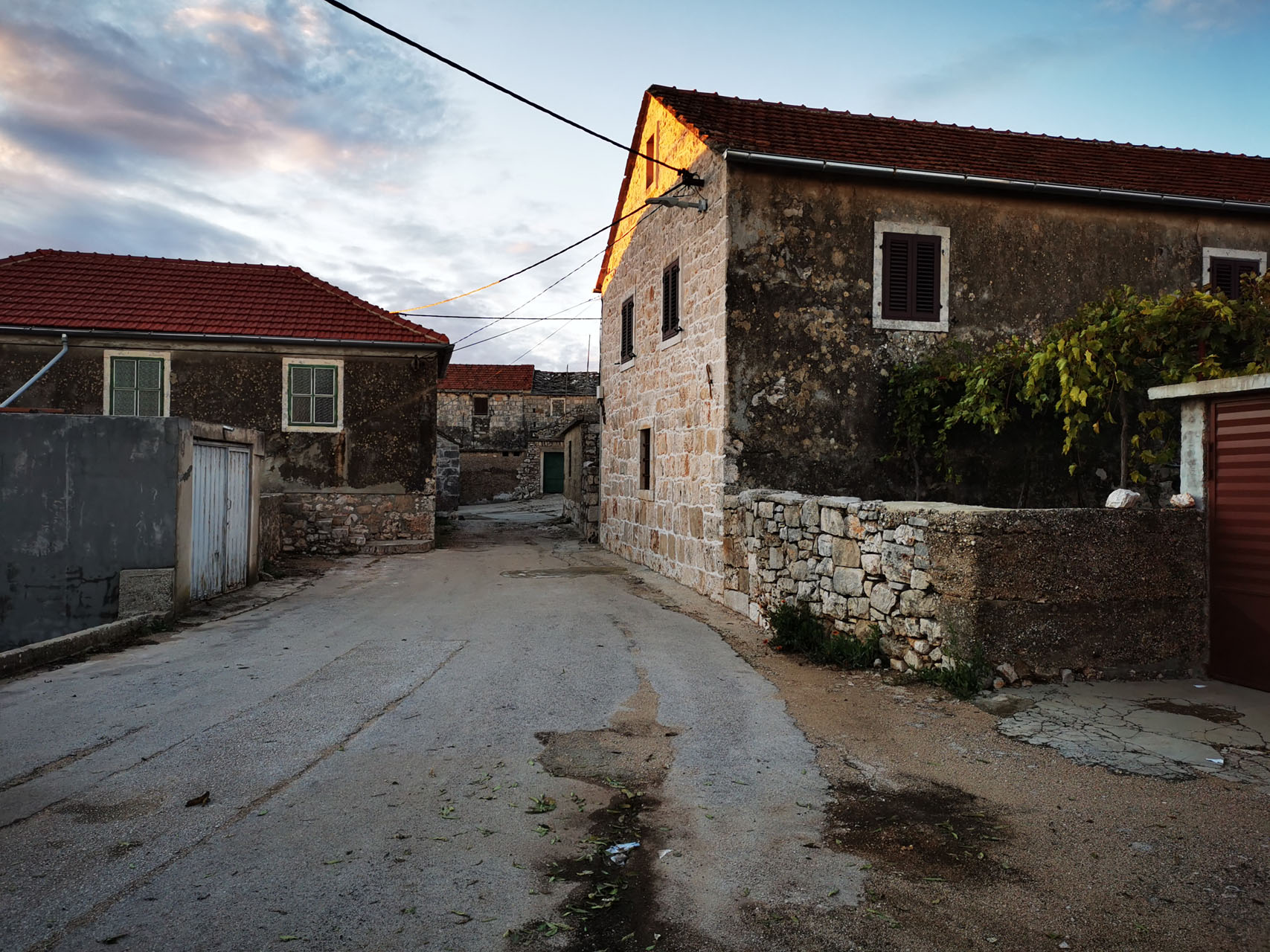
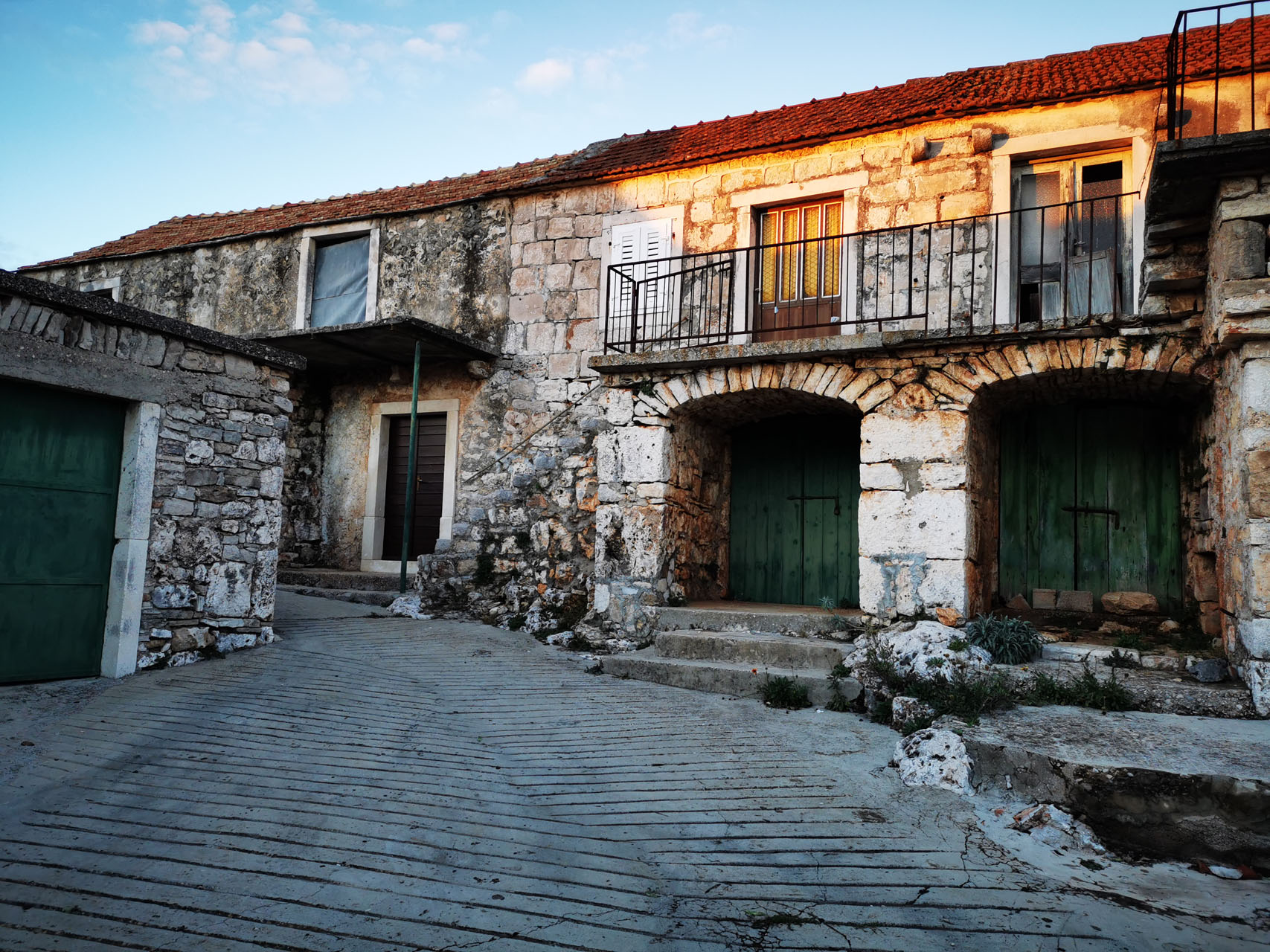
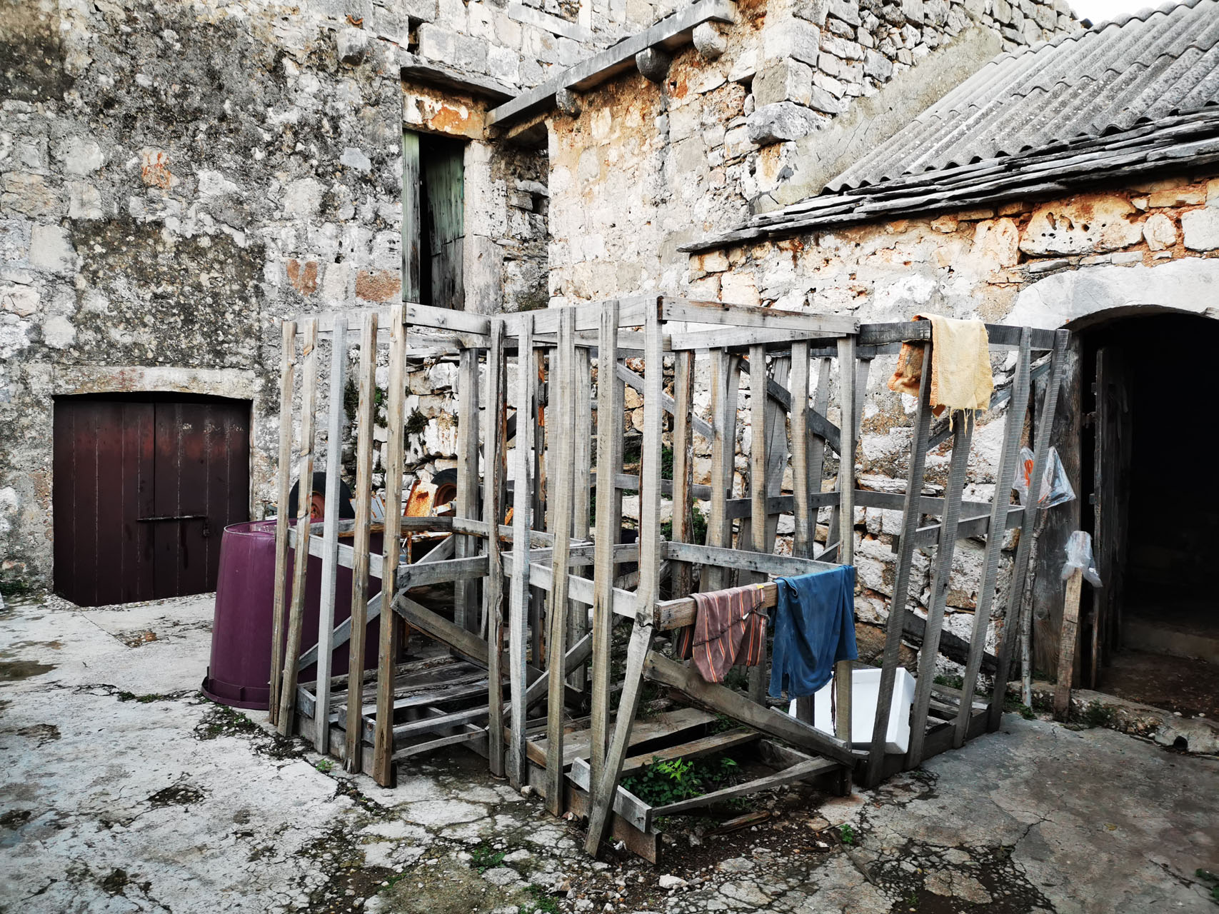
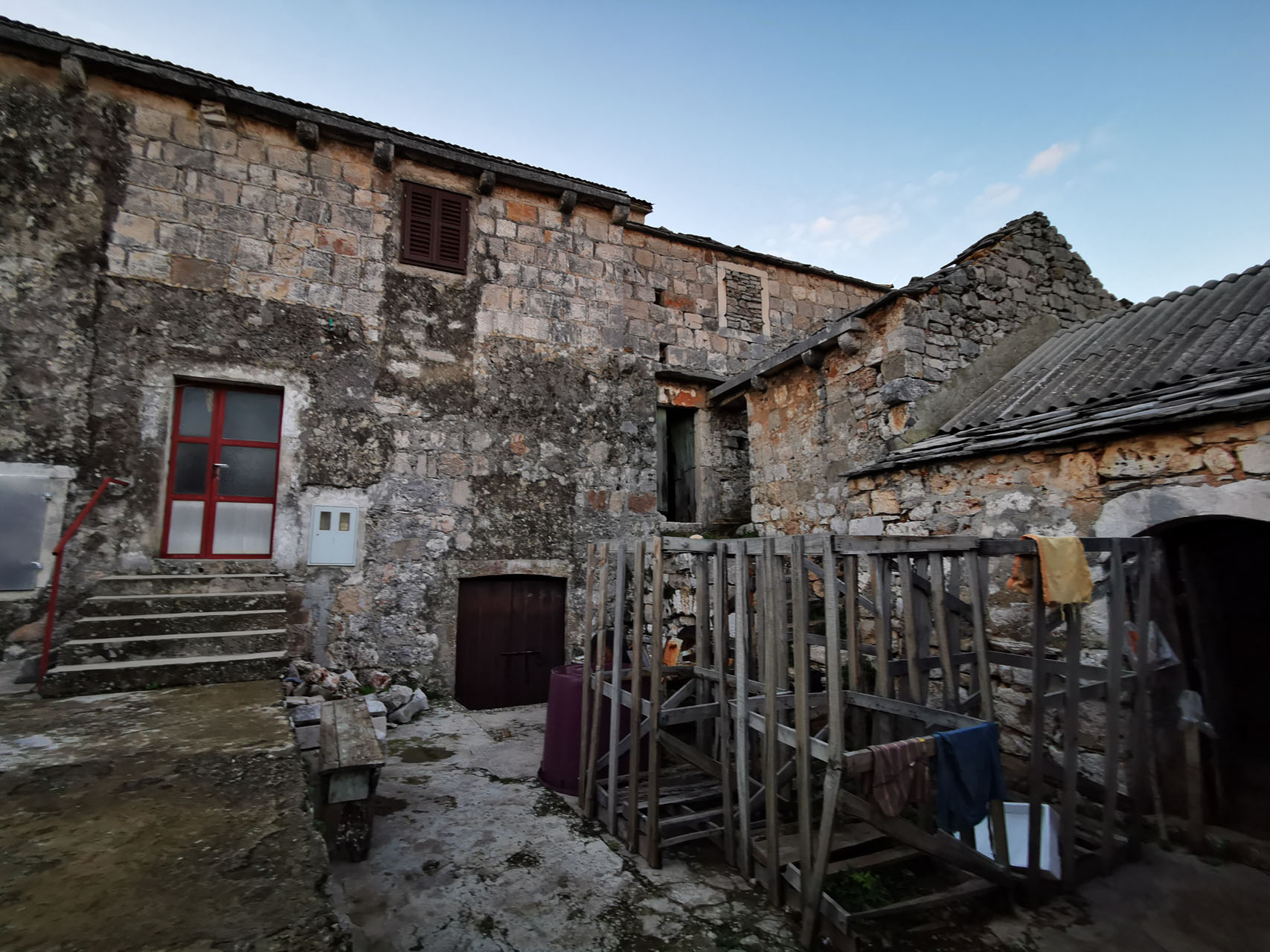
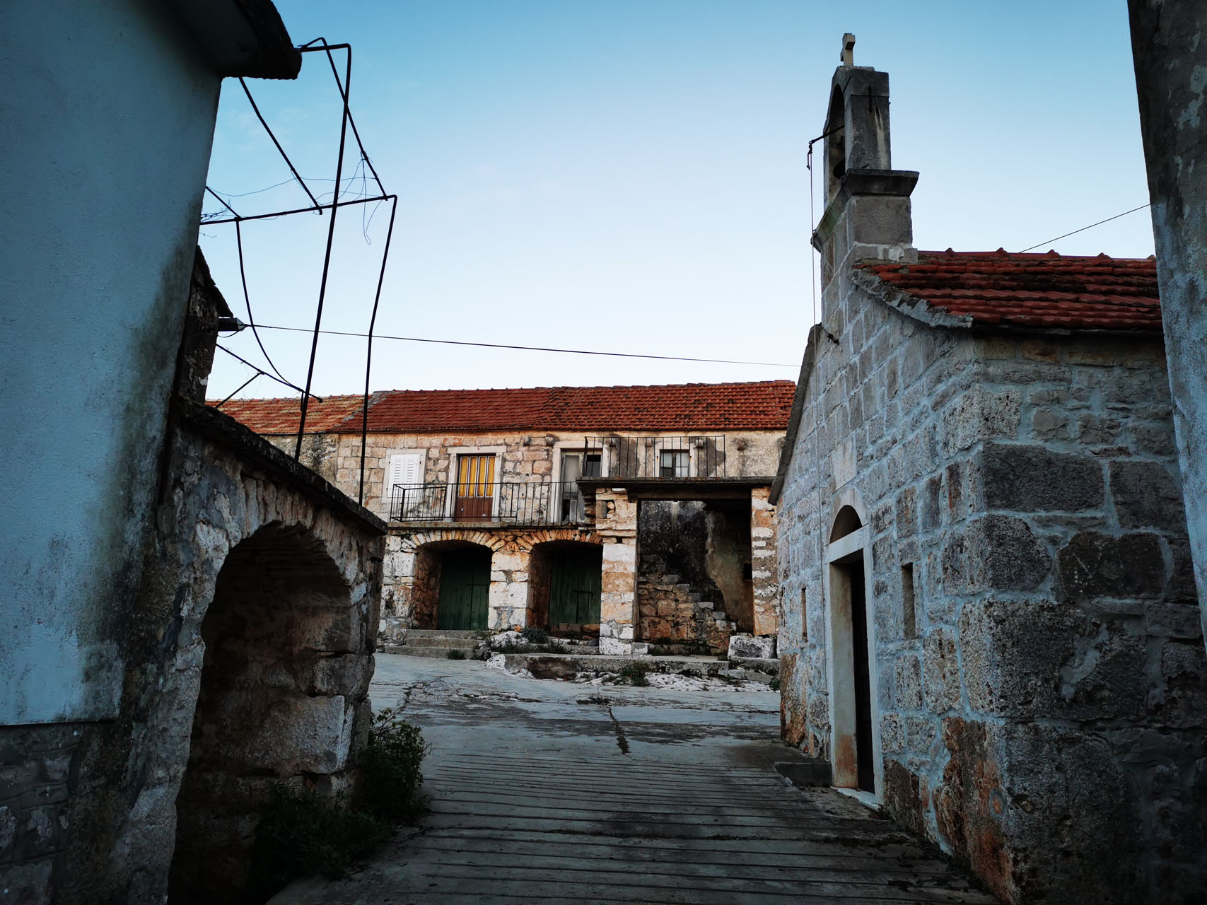
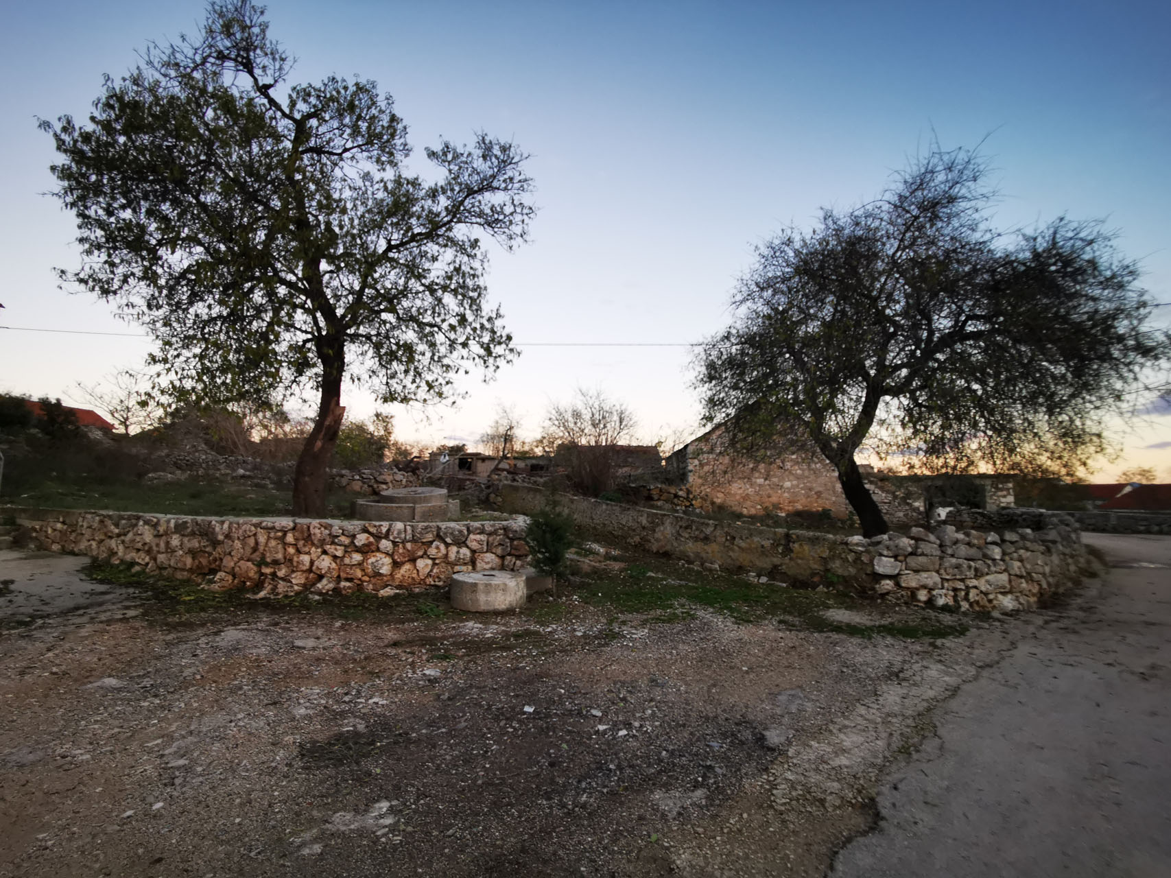
Halfway between Jelsa and Sućuraj, 25 km away and at an altitude of 360 meters, Gdinj is spread across about ten hamlets and their respective coves, offering something for everyone.
These individualized oases within an area of about ten square kilometers even have distinct dialects. Time seems to have stood still here, with artifacts from the Stone and Bronze Ages, Illyrians, and Greek burial sites, but not Romans—lacking any apparent cause-and-effect relationship or continuity. Tombs and stone mounds with diameters of 5, 10, 15, and 20 meters… when the road passed through here, it inevitably had to run over something. Unfortunately, the largest stone mound, 32 meters in size, was destroyed.
In the 16th century, the Neretljans from the Plamjani tribe arrived, as evidenced by the surname Planjar, with up to 80 families. At that time, Croatian population fleeing the Turks reached as far as Aquila, among the mountain ranges in Italy.
In the 15th century, the Church of St. Lucy was built in the Vrvolići hamlet, and in the 16th century, the Church of St. George was built, 800 meters from the central village.
In 1910, Gdinj had a population of 809, but by 2021, it had only 122 inhabitants.
The coves accessible from Gdinj on the northern side of Hvar Island, facing the mainland (Makarska), are: Pokrivenik, Virak, Pobij, Pakomina, and Zaraće, while on the southern side, the coves and beaches are: Medvidina, Srhov Dolac, Skozanje, Torac, Veprinova, Kozja, Jedra, and Smrska.
A significant contribution to the Anti-Fascist struggle in World War II is marked by an obelisk with the names of fallen fighters in the hamlet of Visoka.